
The War in the Middle East in Maps, Video and Photos
The war in the Middle East has expanded into a broad regional conflict involving the United States, Israel and Iran, with fighting spreading across multiple countries and fronts. Visual records — including maps, video footage and powerful photographs — help illustrate both the geographic scale of the hostilities and the human impact on civilians throughout the region.
These visuals show how areas from Iran to Lebanon and the Gulf are caught up in escalating violence, and how strategic sites, towns and transportation routes have become battlefields or targets.
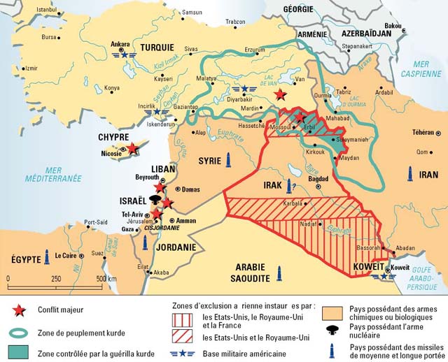
Maps Reveal Geographic Scope of the Conflict
Maps created by analysts and media organisations provide clear insight into where the latest fighting is concentrated and how it has spread:
- Iran: Major cities and military facilities have been targeted by U.S. and allied strikes aimed at key strategic infrastructure.
- Lebanon: Rocket and drone attacks by Iran‑aligned groups into northern Israel have drawn retaliatory airstrikes.
- Gulf region: Some countries have seen missile and drone activity tied to broader regional tensions.
- Border regions and strategic corridors: Routes like the Strait of Hormuz, critical for global oil shipment, have become potential flashpoints.
These maps allow observers to track the movements of forces, areas under attack, and how the conflict affects not only governments and armies but also transport, supply lines and neighbouring nations.
Video Footage Captures Combat and Defense Actions
Video clips emerging from the region show a range of intense military actions:
- Missiles and drones being launched from various territories.
- Air defence systems activating to intercept incoming threats.
- Explosions and smoke rising over urban areas under attack.
- Emergency responders dealing with the aftermath of strikes.
This footage is shared by news outlets, military sources and witnesses on the ground to document how the war unfolds in real time. It not only tells the story of military engagements but also shows the urgency and chaos experienced by civilians trying to seek safety.
Photos Highlight the Human and Urban Impact
Photographs from conflict areas bring a human dimension to the war’s toll:
- Smoke rising above city skylines after bombardments.
- Damaged buildings and infrastructure in neighbourhoods previously at peace.
- Families carrying belongings as they flee their homes.
- Medical teams treating wounded civilians and soldiers alike.
These photos show the scale of destruction and the resilience of people caught in the conflict. They are a stark reminder that behind geopolitical strategies and military objectives lie real human lives affected by violence and displacement.
Who Is Involved and Why It Matters
The conflict involves multiple actors with intertwined motives:
- United States and allied forces: Carrying out strikes intended to limit Iran’s military reach.
- Iran: Responding with its own missile and drone launches, and supporting allied militias.
- Hezbollah and other militant groups: Launch attacks from Lebanon and other locations.
- Israel: Responding to attacks and targeting positions it sees as threats.
These interactions have rapidly drawn in cities and civilians far from initial combat zones, turning what may have begun as targeted military operations into a broader multi‑front crisis.
Visuals Show Broader Regional Effects
The visual record indicates that the war’s impact extends beyond the immediate battlefields:
- Civilians fleeing cities as airstrikes and artillery fire intensify.
- Disruptions to daily life in urban centres across multiple countries.
- Travel and energy market instability as trade routes and shipping lanes face increased risk.
- Increased security alerts in neighbouring states that fear spillover.
These visuals are helping the world understand not only where the fighting is happening, but also how it affects ordinary people and global systems.
Conclusion
Maps, video and photos together paint a comprehensive picture of the war in the Middle East, showing how quickly regional dynamics can escalate and how deeply civilians are affected. They offer a way to visualise the scale and complexity of the conflict, highlighting strategic frontlines, human suffering, and the rapidly changing shape of hostilities.
As the situation continues to evolve, these visual records will remain vital for analysts, the public and policymakers trying to grasp the full implications of the war.
FAQs
1. Why are maps important for understanding the Middle East war?
Maps reveal the geographic scope of the conflict, showing where fighting is concentrated, which borders are affected, and how hostilities spread across multiple nations.
2. What types of video footage are being shared?
Videos include missile and drone launches, air defence responses, explosions in urban areas, and emergency responders at work, helping to document real‑time developments.
3. How do photos add to our understanding?
Photos capture the human and urban impact of the conflict — from destroyed buildings to displaced families — emphasising the personal cost of war.
4. Who are the main parties involved?
Multiple actors are involved, including the United States and its allies, Iran and its proxy forces, Israel, and various militant groups operating across borders.
5. What broader effects are visible through images?
Visuals show disruptions to civilian life, displacement, travel instability, and impacts on global energy and trade routes, illustrating that the consequences go beyond battlefields.